Precision in Every Measure
From Topographical Surveys to Boundary Disputes, CTM delivers accurate, reliable geospatial data you can build your future on.
Get a Free Quote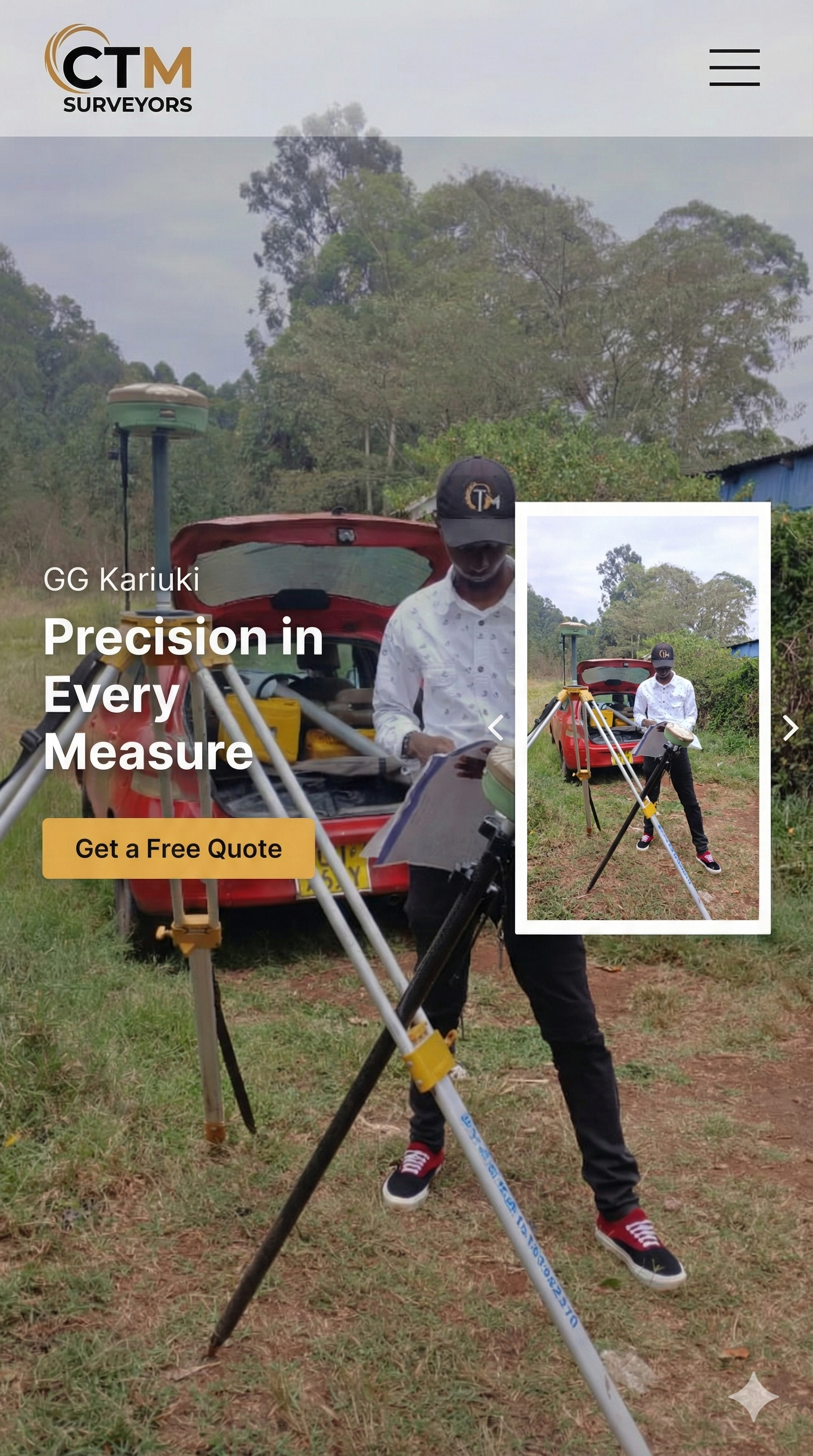
.jpeg)
.jpeg)
From Topographical Surveys to Boundary Disputes, CTM delivers accurate, reliable geospatial data you can build your future on.
Get a Free Quote
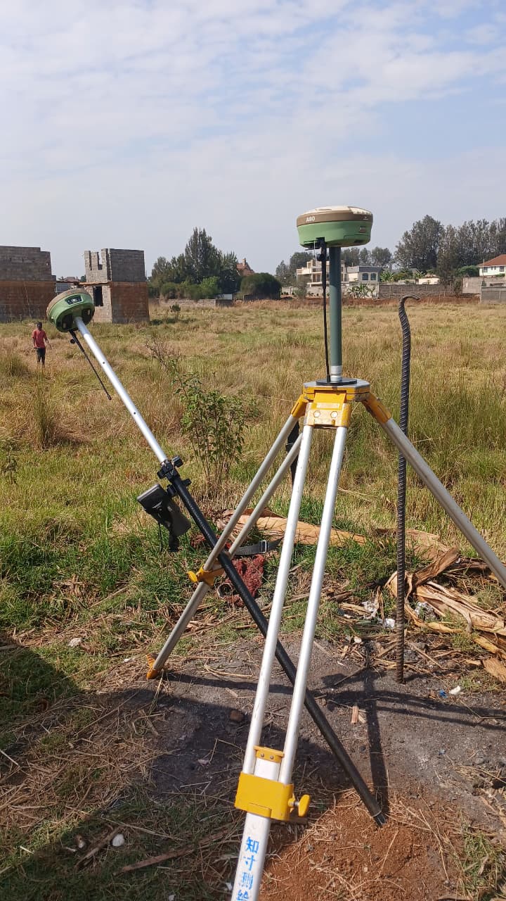
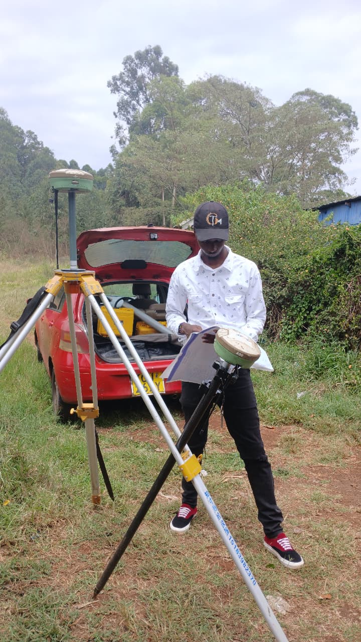
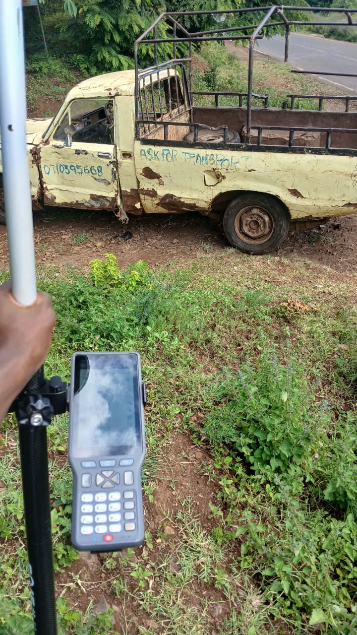
Detailed mapping of land contours and features for architectural design and engineering projects.
Precise beacon placement to define property limits and resolve disputes.
Processing statutory forms and maps for land division and titles.
We combine modern geospatial technology with strict adherence to Kenyan survey regulations.